
Fortified City of Saarlouis / Municipal Park
pictures
description
brief description:
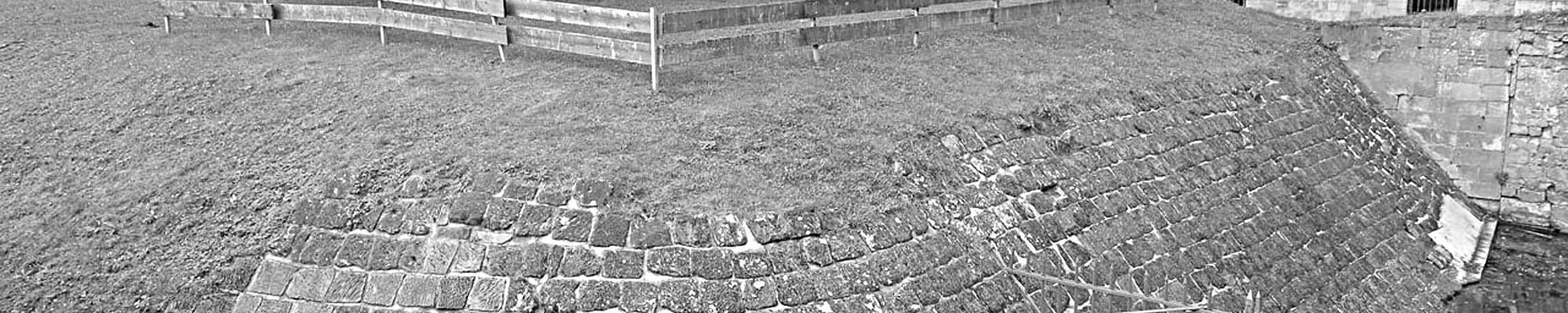
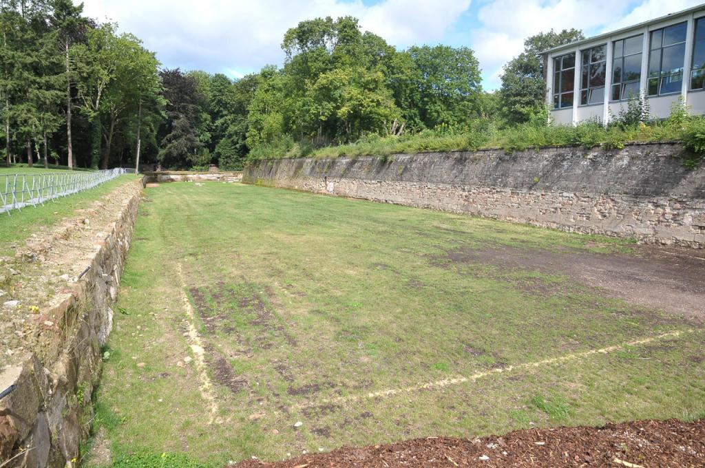
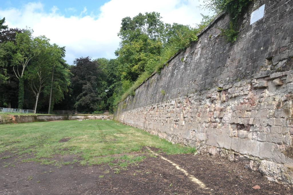
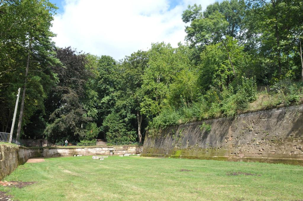
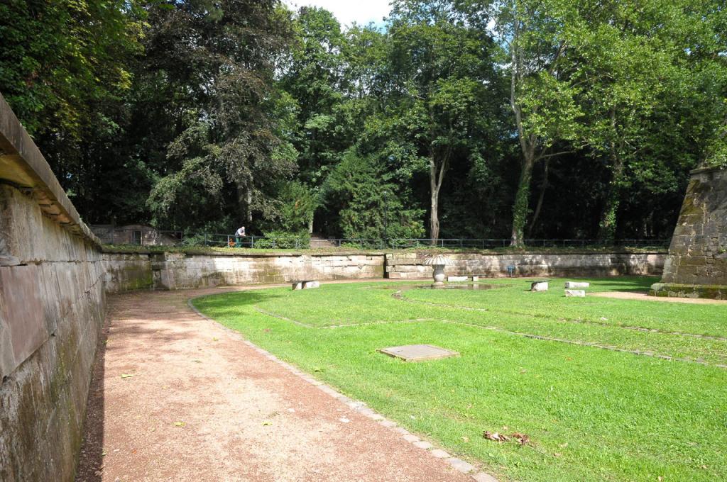
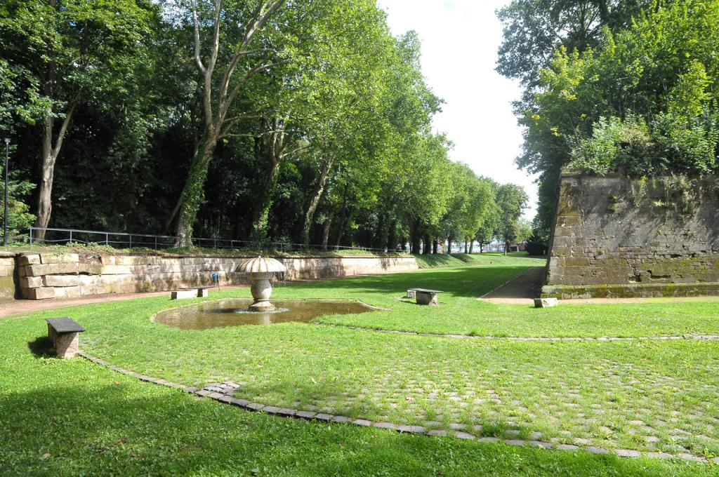
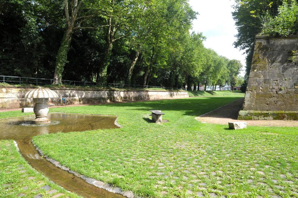
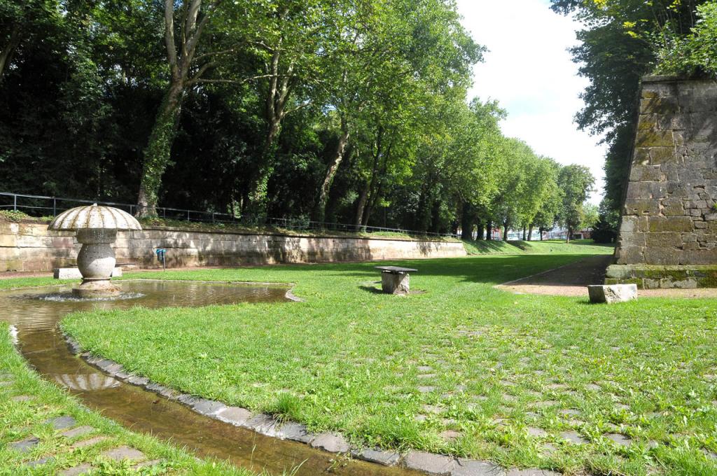
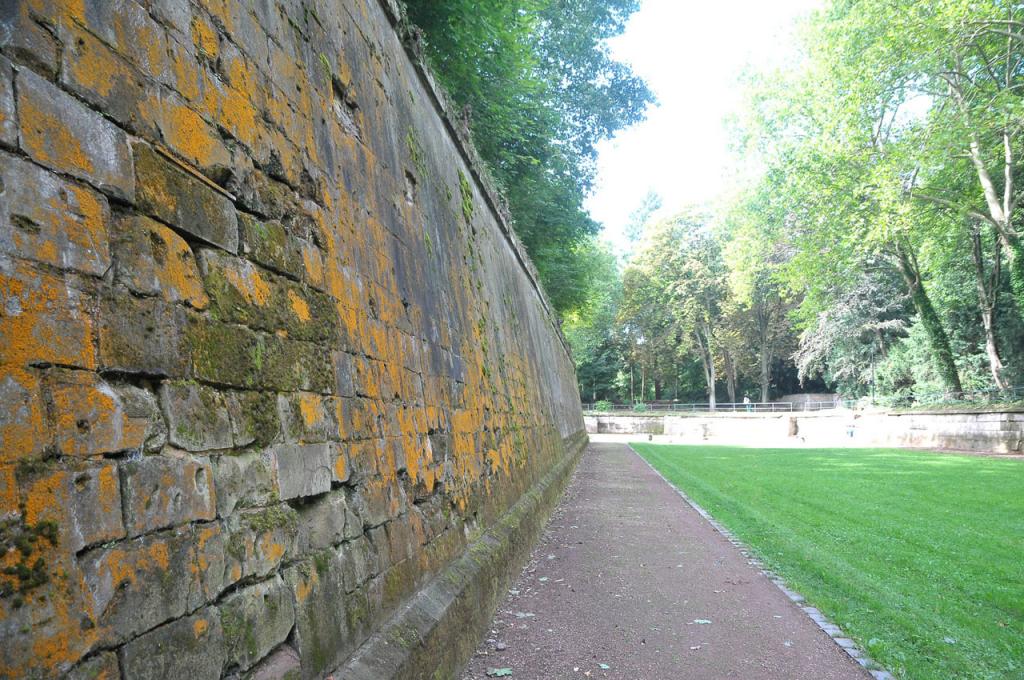
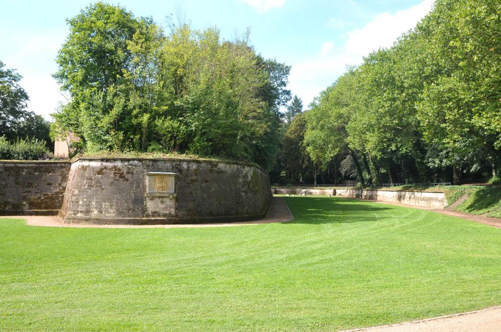
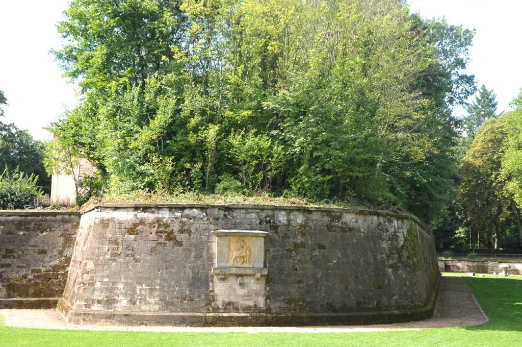
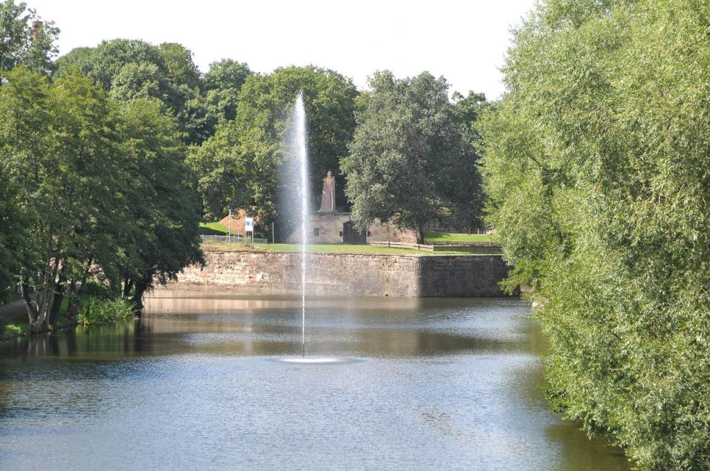
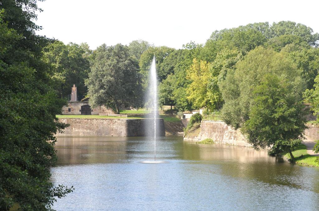
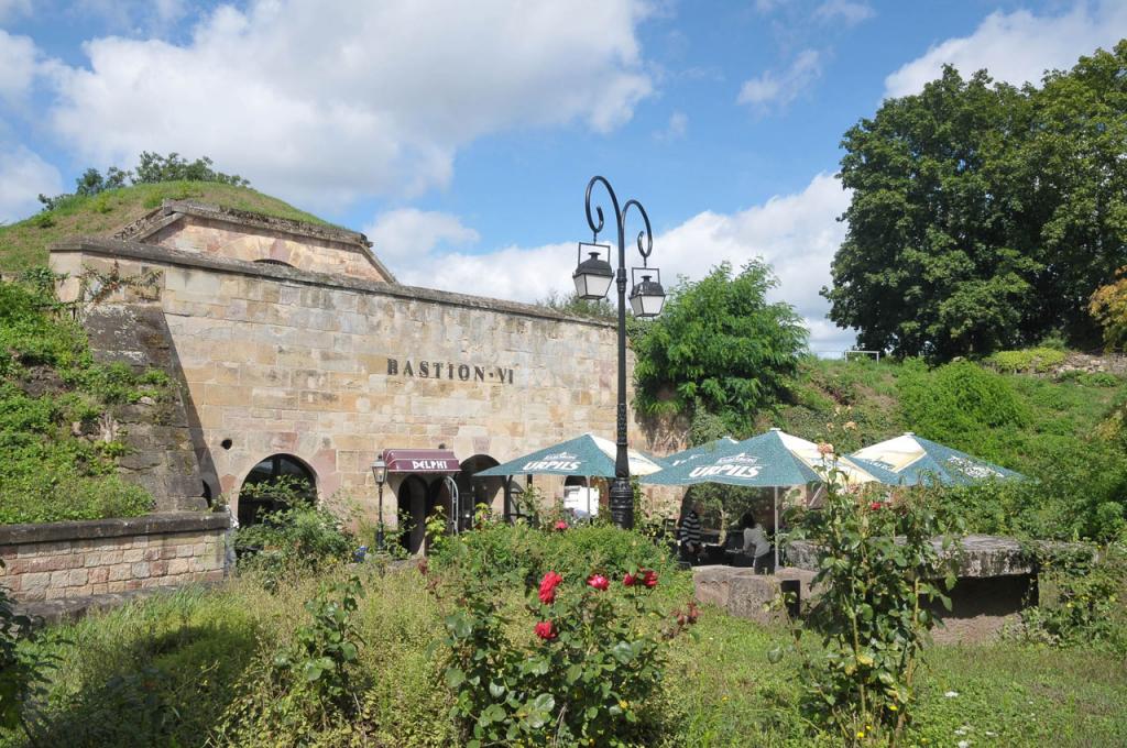
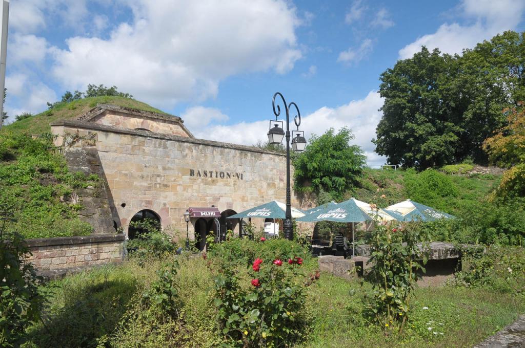
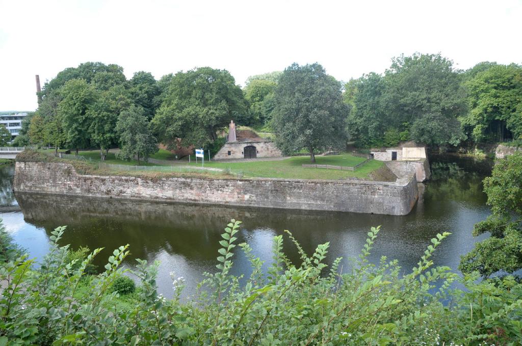
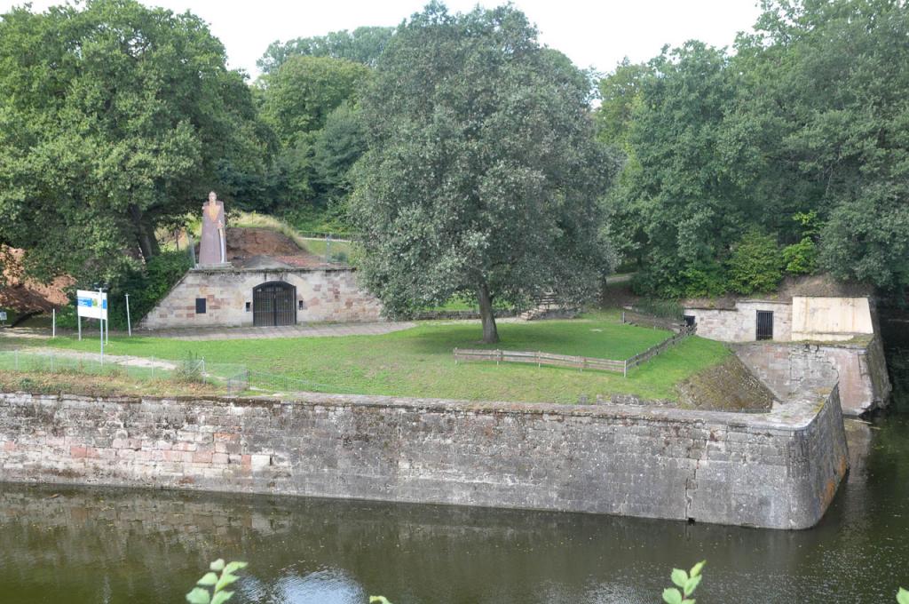
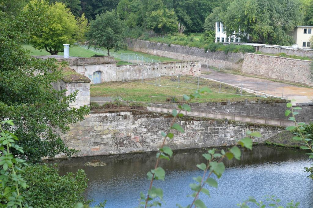
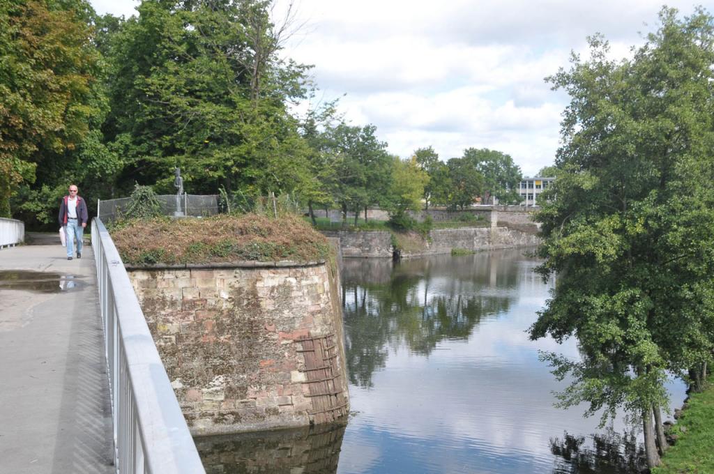
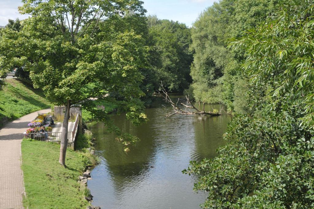
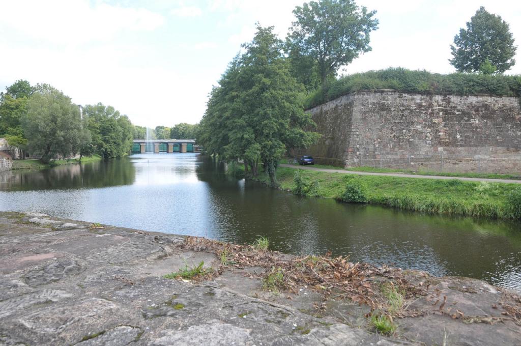
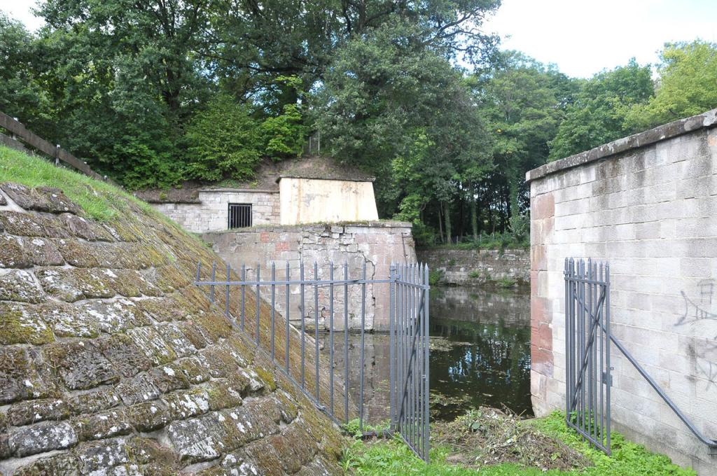
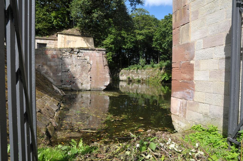
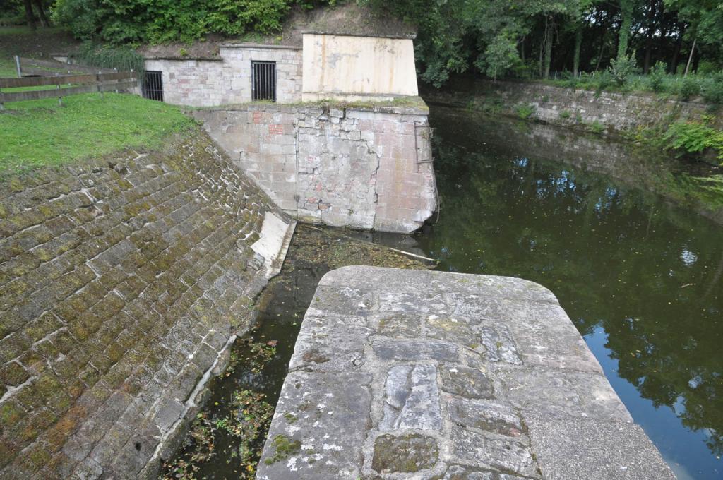
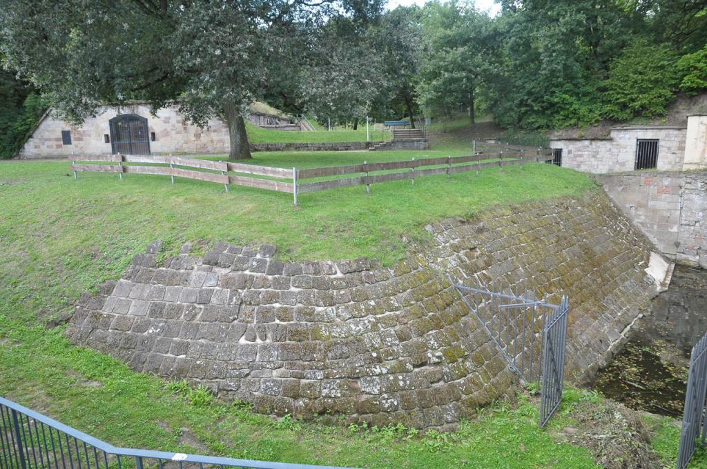
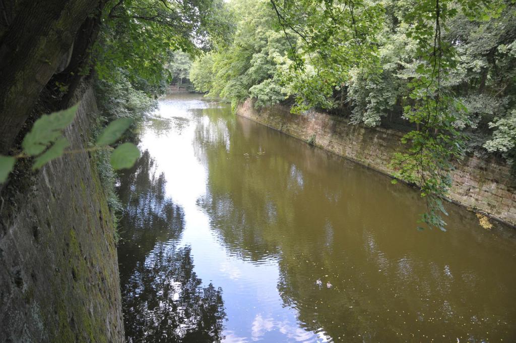
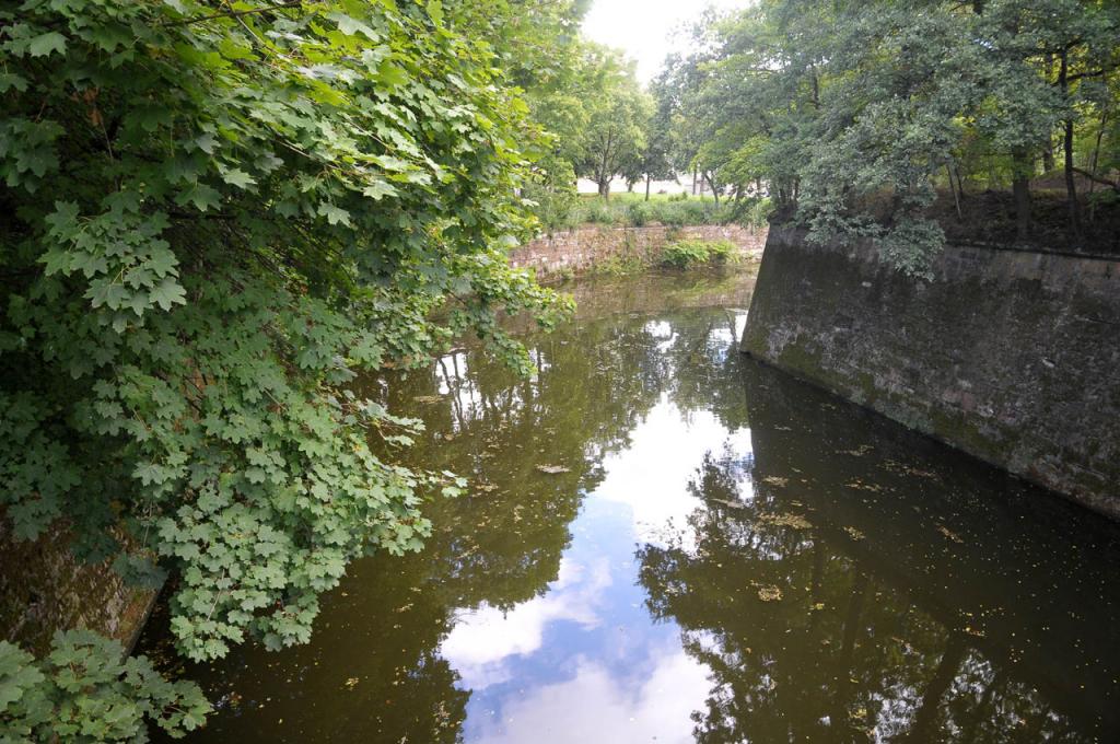
Saarlouis, named after Louis XIV of France, was built by French military engineer Vauban as a fortification on the banks of the river Saar in 1680. Later, parts of the fortress were slighted. At the present time, remains of the fortified walls are being excavated and restored on the grounds of today´s municipal park. The so-called Vauban Island is a small landmass (a former ravelin) embedded in an anabranch of the river Saar. The entire area surrounding the ancient fortress is covered with trees and laced with footpaths.
relevant filming facts
usage:
recreation area
condition:
partially restored
Background noise:
quiet park terrain
surroundings:
park terrain near the city centre of Saarlouis
Catering:
restaurants in the city centre, a short walk away
premises:
n/a
accessibility
car:
coming on the A620, Saarbrücken-Merzig, take the Wallerfangen exit and continue in the direction of Saarlouis. Turn left onto St. Nazairer Allee. Behind the bridge across the anabranch of the river Saar, turn right into the park entrance.
train:
Saarlouis train station. Bus service to the city centre.
supply
parking lot:
parking lot at the centre of the park
electricity supply:
n/a
water supply:
n/a